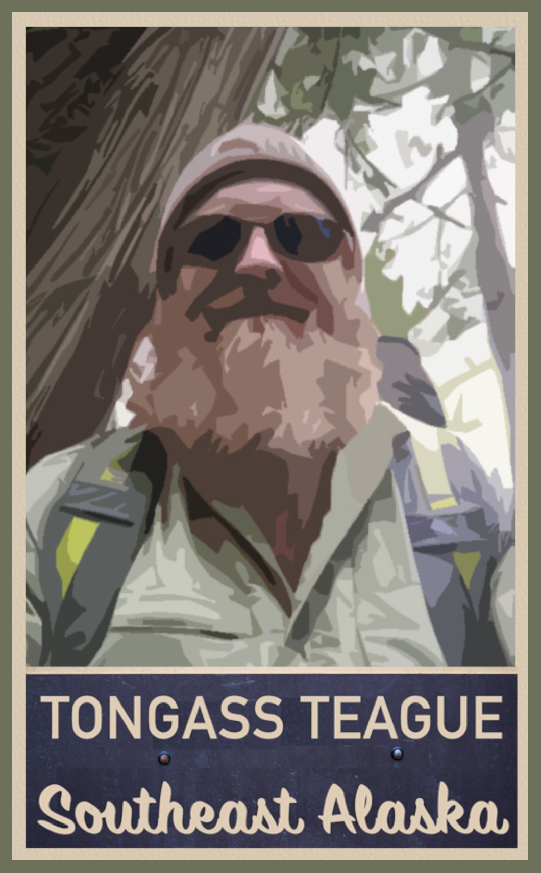


Photography by Teague Whalen
1.3-mile loop (30 min. – 1 hour)
Directions: From downtown Ketchikan, 6 miles north on Tongass Hwy to Ward Cove. Right on Revilla Rd. for just over 1 mile. Right on Ward Lake Road for 0.5 mile. Right into a parking lot.
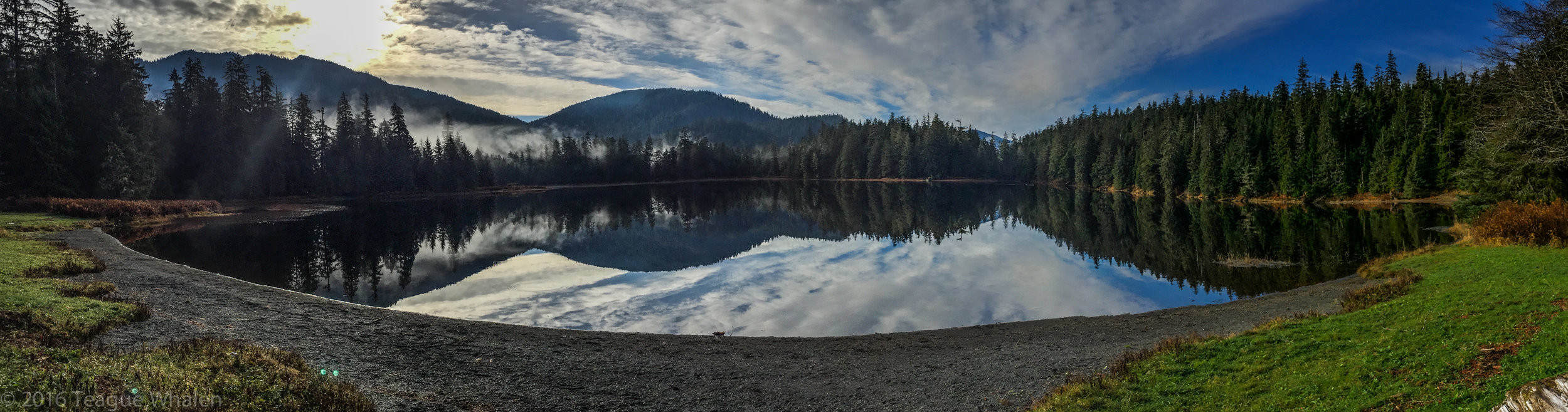
Wherever I have lived, I’ve always had a stock, go-to walk that was a no-brainer for just getting me out of the house for some quick, maintenance exercise in the woods for some peace-of-mind. That walk for me in Ketchikan has become Ward Lake. I decided to establish a morning routine to walk Ward Lake on my way to teach at the university, no matter the weather, instead of just rushing off to work first thing. Not only did this help to set a relaxing tone for the day, but I was able to connect with and observe the small nuances as well as the big changes in the seasonal weather and wildlife habits. One late February, I was tipped off to an early spring when a pair of swans with two cygnets foraged along the shore of Ward Lake, and the honks of geese returned as they landed in the lake for a needed rest during their migration back north. But one of my favorite returning sounds of the wild is the solemn call of the loon. I always know I am in a good place when I hear the call of the loon. Reminds me of my times canoe camping in northern Minnesota’s Boundary Waters Canoe Area and in upstate Maine.

Managed by the National Forest Service, Ward Lake is just tucked into the edge of the Tongass National Forest boundary. This area used to once be a Civilian Conservation Corps camp in the 1930s and also housed relocated Aleuts during World War II. Informational signs are posted about this history at the Ward Lake beach and the nearby Three C’s Campground, and remnants of stone foundations from these camps can still be found within Three C's and Signal Creek campgrounds. Because of Ward Lake’s close proximity to town, the area is a popular place with the locals. Three shelters, complete with fire places, picnic tables, grills, and horse-shoe pits, dot the beach area right beside the parking lot where a dual outhouse is available. There are a handful of other picnic sites along the lake that pull-off from the road. In the summer season, a water pump offers fresh drinking water. The mostly flat trail follows the circumference of the lake’s shore in a swath of gravel that is wide enough for two people to walk abreast. The trail crosses two bridges over Ward Creek, which runs into the east end of Ward Lake and out the west end. In this valley of mountains, the lake and creek are dominated by views of Brown Mountain, the Diane Mountain ridge, and Ward Mountain. In the winter, if the lake freezes, one can find many people sliding and skating on the ice. Within walking distance are also three other trailheads: the Ward Creek trail can be picked up on the other side of the Ward Lake parking lot and road; the Perseverance Lake trail lies further down the road just over the Ward Creek bridge, and the Frog Pond trail can be accessed where the road dead-ends at Signal Creek Campground.
Early spring or late fall mornings, sometimes the air is colder than the water and a mist glides across Ward Lake to rise and form a small cloud. Eagles, seagulls, herons, mergansers, mallards, and kingfishers frequent these waters. I’ve seen a family of otters playing and eating among the shoreline reeds. Occasionally, one may find a large pile of back-bear scat plopped right in the middle of the trail. Along this nature trail, one can also find informative signs about the flora and fauna in that area. In the spring, fly-fisherman wade off the east banks of where Ward Creek flows into the lake and where in the fall, I like to watch the salmon migration swimming up river to spawn and die. And I’ve just discovered a well-hidden beaver home, which I’ve walked by hundreds of times, because I was tipped off by the fresh beaver shavings littered around stumps of missing alders this time.

What’s fun about Ward Lake is that because it is fed by rivers that capture all the rain and snowmelt from the surrounding mountains, the lake level can rise and fall dramatically, sometimes flooding the south-side of the trail. In this case, the road can be walked. I like to check the water levels under the west-end bridge where the creek flows back out of the lake and a large boulder in the river shows where the water is on its back, which is completely exposed in low water and completely submerged in high water. This part of the river can have two- to three-foot standing waves in extreme high water.
At the west-end of the lake, the trail meanders through Signal Creek Camp-ground, where Signal Creek enters the lake. Rural campsites perch on the lake and along the creek, offering picnic tables, fire rings, and bear boxes to store food. This was my first home in Ketchikan for about a week when I first arrived with my father several years ago, having driven across the country from Michigan. My sister who’d already been living in Ketchikan for many years, her husband, and a friend came out that first night with firewood and beer to welcome us to town. We laughed, told stories, and enjoyed being reunited as we lit up the giant trunks of Sitka spruce with sparks dancing with our shadows. I like to continue returning to walk Ward Lake in order to remind me of the never-ending cycle of change, of birth and death that I am a part of it, which helps me to practice being present in the moment because each step of the way is a precious gift of time we should not waste.
