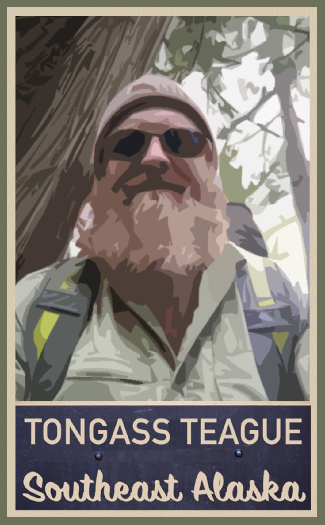

TONGASS TEAGUE LLC
presents
INTRODUCTION TO HIKING
IN KETCHIKAN, ALASKA

Hello From Out The Road: Hello, I’m Teague Whalen, a local resident of Ketchikan, Alaska here to guide you through your trail research during your stay in Ketchikan. A wild and magical place, Southeast Alaska is visited by over a million tourists during the summer season. And though our small, rugged towns may look charming and quaint, our wilderness is vast and unrelenting. Our forest and sea are often quite different from what people are used to in the lower 48 and other countries. What you know about your own backyard's weather and wilderness may not hold up here in Alaska, where the conditions can be severe and life-threatening if you are not properly prepared.
I’ve assembled a dozen trail write-ups for your reading pleasure that synthesize personal stories from my trail experiences with some practical information about what to expect on each of these trails. If you are an experienced hiker, feel free to skip ahead, read what our trails have to offer, and choose your next adventure here: Teague's Tales from the Trails of the Tongass. However, if you are a less experienced hiker, or this is your first time to Southeast Alaska, or you are someone who likes to learn as much as you can about a place before you get there, this introduction to hiking in Ketchikan will sketch in what to expect for weather, suggested gear to bring, what not to worry about concerning bears, and some safety tips concerning hiking in Southeast Alaska. Ensuring that you have a successful adventure starts with being smart about your planning. However, I hope to leave some magical mystery for you to discover about each trail’s charm on your own, given enough to get started and to help you choose wisely which path may be next for you. If there is one thing I know about, it’s hiking and how to do it safely in Southeast Alaska. I’ve started a summer hiking tour here in Ketchikan: Tongass Teague LLC, and I have secured the proper permissions to lead a commercial tour hikes one particular trail here--Coast Guard Beach. I am passionate about healthy living and connecting to nature and people and have found hiking Ketchikan’s trails to be a wonderful way to accomplish these things. To learn more about me, please click here: A Little About Your Trail Guru.
If anyone would like to supplement the information provided in this hiking website with a copy of the National Forest Service’s Ketchikan Area Trails Guide, photocopies can be accessed online here: Ketchikan Area Trails Guide. Before you read on, please understand that I and Mindfulness Rainforest Treks, LLC are not liable for any of the subjective information presented in this introduction and in each of the trail vignettes. Each person who ventures out on any of the trails in and around Ketchikan does so at their own risk and will be responsible for his/her own safety, choices, consequences, and of course enjoyment. Now that we’ve got that out the way . . .
In The Land of Ferries, Float Planes, & Mountain Goats: I’ve never lived so close to such amazing backcountry hiking. As we really only have one forty-mile road that stretches along the edge of Revillagigedo Island, all the trails on our road system are usually just minutes away. As soon as you step foot on the trails here, you are walking into a dense rainforest canopy of Sitka spruce, western red cedar, hemlock, and alders, and a trail brushed with devil’s club, skunk cabbage, ferns, and a plethora of berry bushes—salmonberries, blueberries, huckleberries, and thimbleberries to name a few. Many species of mushroom and moss grow abundantly here as well. As you hike into the higher elevations on the mountain trails, you may find yourself walking through much more open muskeg meadows, with thinner and smaller mountain hemlock, yellow cedar, and the tough, knee-sized krummholz. In order to help better identify the flora here in Southeast Alaska, I highly recommend Jim Pojar’s and Andy MacKinnon’s Plants of the Pacific Northwest Coast. You may also want to pick up books on edible berries and mushrooms as well. A good place for information, brochures, and maps is our Discovery Center, run by the U.S. Forest Service, just a block over from the cruise ship berths. The U.S. Forest Service’s website offers information here on Alaskan poisonous plants and information on mushrooms here: Mushrooms of the National Forests of Alaska. A good rule of thumb is: if you don’t know what it is for sure, don’t eat it.

Hiking to Blue Lake from Deer Mt.
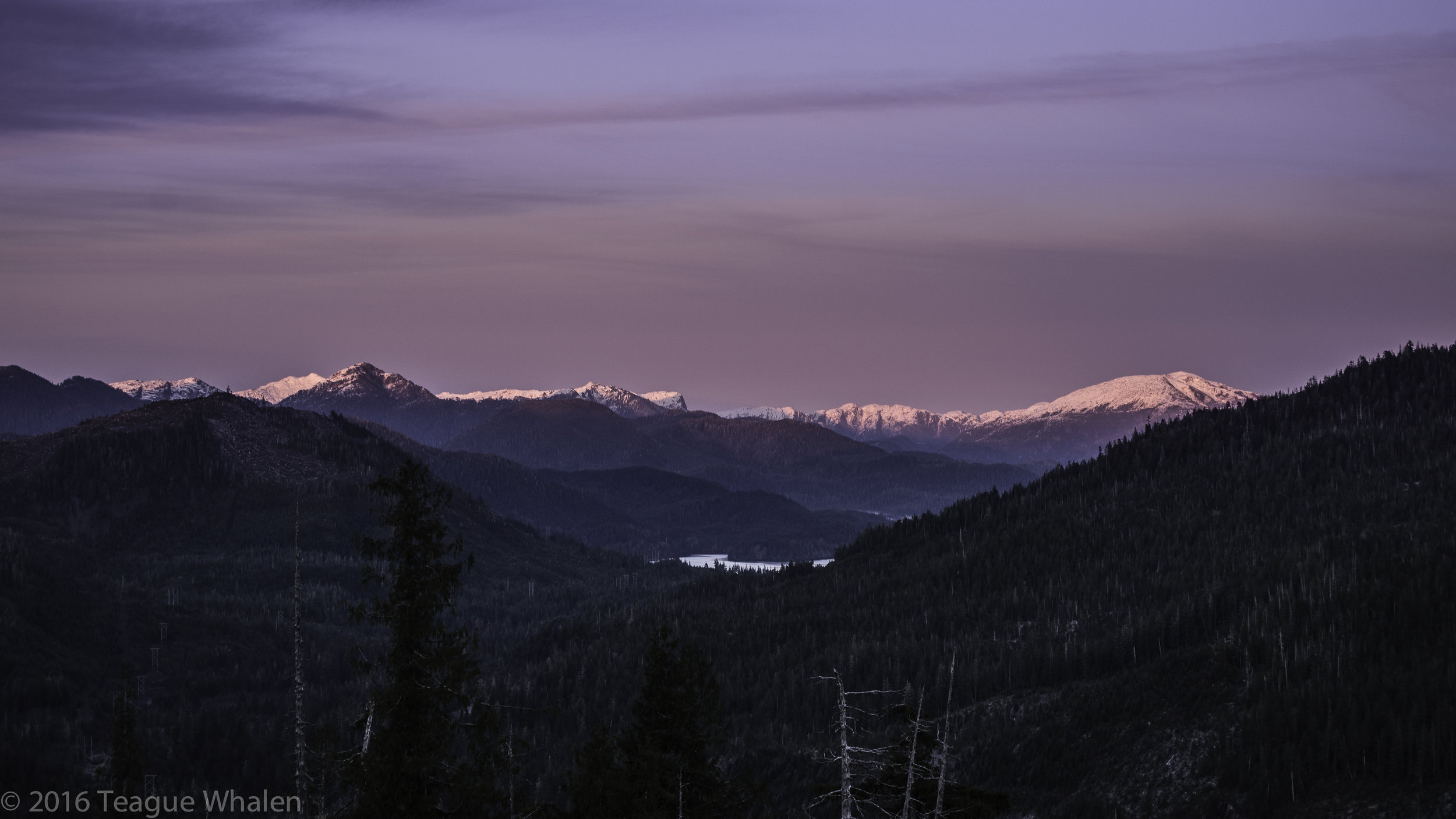
As soon as you are walking away from town, nothing but wilderness stretches ahead of you for hundreds of miles. Much of the wilderness is very difficult to access; often the only ways to get into the backcountry is by foot, boat, float plane, or any combination of these. Hiking off trail is very difficult here and not at all recommended for newcomers solo hiking. When leaving the trail, people do get lost in these woods and sometimes do not return. But most of the trails we do have are well-marked and easy to follow. The difficulty can be if the trails are covered in snow. Our mountains hover around 3000-feet tall and often with a base starting right at or near sea-level, so that’s an entire 3000 feet of vertical from base to peak. While hiking into some of the higher elevations, such as Minerva Mountain from Carlanna Lake, you have to keep an eye out for the cairns to direct your path because there are not tall trees upon which to place markers, only a steep, vegetation-spotted rock slope. Even though our mountains are on the small side, we still have tree-lines on some of the mountains because of our northern latitude and extreme climate. Once you are in the alpine country, you may be above the tree-line and will only have the path below your feet to follow. Often, the direction to go can be pretty clear once you are up on the mountain ridges and tops because there are very limited choices of where to go due to precipice drop-offs. Usually during clear sunny days, visually orienting one’s self can be easier if you are familiar with the landmarks, such as other mountains, the ocean, town if you can see it, and where north, west, east, and south are. However, if the high country is socked in with clouds, rain, or snow, navigating can become extremely difficult and sometimes dangerous, so a GPS and map are highly recommended to have along in case of such an event.
For more challenging hiking, we have two mountain traverses here. Deer Mountain to Silvis Lakes is a fourteen-mile, one-way traverse across some remote alpine country and climbs over Deer Mountain and Northbird Peak, skirts just below John Mountain and Mahoney Mountain, and ends up at the south end of the Tongass Highway. The Carlanna Lake to Perseverance Lake traverse is roughly ten miles, one way, and climbs over Juno and Ward Mountains. These traverses can be done in a day or broken up if one is willing to bring camping equipment along. People should only attempt these traverses if they are in great shape, are very good at sniffing out a faint alpine trail, know how to read the weather, and are proficient with using topographical maps with a compass or GPS. Several people have gotten into trouble on these traverses, especially the more popular Deer Mountain to Silvis Lake traverse. Do not underestimate the rigors of a traverse that crosses multiple mountains.
Cell-phone coverage can be very spotty on many of these trails. Without getting into each trail specifically, here’s a good way of thinking about how cell reception may work here. Out north and out south at the end of the Tongass Highway, there generally isn’t any cell service, nor for the trails there. Trails that can be accessed right out of town are generally a safe bet for cell service, all the way up to the peaks as long as you are on the town-side of the mountains. The Ward Lake area trails generally have cell service, except for the further you go into the backcountry out Revilla Road or out one of the longer trails like Perseverance Lake or Connell Lake. This area happens to be on the other side of the mountain ridges from town. Reaching ridges and summits again makes for a better chance of connecting with cell-phone towers from town. If you are in a cell-phone dead zone, it is often helpful to power down your phone so that the device doesn’t quickly drain from trying to continually search for service, thus preserving power for when you may need to use your phone for photos, time-checks, or emergencies. Otherwise, remember that you really aren’t out here to stare at your phone and check emails or Facebook because once you do, the Alaskan wilderness is already lost on you.
Transportation to the trails can be one of a few different options. If you already live in Alaska, you may consider putting your car on a state ferry so that you have your own vehicle for exploring the Ketchikan area. For those of you who are arriving by plane or boat, we have a rental car service that is offered both at the Ketchikan International Airport, which is on Gravina Island, and also here on Tongass Highway roughly two miles north from downtown. At this time, Ketchikan does not offer an Uber service, but we do have taxicabs whose drivers are willing to drive and pick you up from anywhere you’d like to go. We also have public bus transportation that goes out north as far as North Point Higgins Road, which is roughly near the fourteen-mile marker and goes out south as far as Franklin Roosevelt Road, about 6.5 miles. For any hiking off the road system, several float-plane and charter boat businesses are available for hire. Of course, sometimes aviation and marine transportation can be canceled due to unnavigable weather.
Ketchikan Weather: In the past six or seven years, since I’ve been here, our summers have been quite sunny and pleasant, the best weather of the year. And it just so happens that our summers—roughly May through September—coincide with Ketchikan’s big tourism season, when most people are likely to visit. Expect high 50s to 60s and sometimes 70s when the sun is out. However, when the sun is behind cloud cover, expect cool and wet weather in the 40s and 50s. For the most part, our summer weather and longer days can be quite forgiving for visitors, except for the occasional nasty weather day. Though you can get away with just about anything with our warmer summers, it’s always good to remember that this is Alaska and to keep an eye on the weather and pack some raingear and warmer layers. A general rule of thumb: the weather usually can be colder and windier at the top of mountains, sometimes even raining, when you may have started hiking at a warmer and clearer forecast at sea level. If you plan on visiting Ketchikan outside of our summer season or you are curious to learn more about the specific weather patterns here, please click here: More About Ketchikan Weather.
Death Cloth: In order to hike Ketchikan’s trails, you need to be physically able to hike, be comfortable while hiking, and have some minimum gear in order to be able to spend a night in the woods—if you have to—without becoming hypothermic. An experienced hiker dresses in layers, wears wool or synthetic wool like fleece, knows that cotton kills, and hikes at a consistent speed without sweating profusely. To learn more about what to wear, hypothermia, and gear to bring, click here: More On What To Wear or Day-Tripping Gear.

The Bear Necessities: Yes, Ketchikan has bears, a plethora of black bears, but fortunately NO grizzly bears. Our bears are well fed by our natural supply of salmon, berries, and other wild game. For the past 40 years in the Ketchikan area, the bears have been a non-issue for backcountry adventurists. The old-timers haven’t even heard of anyone being attacked or killed by a bear here. Of course, use caution when you see signs of bears being in the area: berry-filled bear scat on the trail, munched-on skunk-cabbage shoots in the spring, and gutted salmon on the shores of creeks in the fall. Please, do not approach any bear that you may see. If you want bears to leave you alone, it’s best to leave them alone as well. For the most part, pay them no mind and enjoy your time in the woods. If you will be venturing onto trails within the Misty Fjords National Monument, a boat or float plane ride away, do know that this area is part of the mainland and does have grizzly bears. So, there are three recommended approaches to hiking in bear country: 1) Walk into the woods with the attitude of, “I’ll leave you alone bear if you leave me alone”; 2) Bring a can of bear spray if you are uncomfortable in bear country, and 3) Bring a high caliber rifle if you are paranoid or if you are hiking in brown-bear or grizzly country. And it’s best to hike with a group and a rifle if you are hiking along a salmon river where there are or may be cubs. To find out more about best practices in bear country, please click here: More About The Bear Necessities.
Top Ten Best Ways To Avoid A Bad Ending
Where The Wild Things Are: Some of our trails, like Ward Lake, Ward Creek, and Carlanna Lake to name a few, are relatively benign, forgiving, not too long, nor very far from town or a road, so it’s not necessarily required to have all the back-country preparations with you, and you could probably get away with jeans and tennis shoes and suffer through some rain if you get caught. But there’s no knowing when and where you might get into trouble; it could be at any moment, anywhere. So, it’s always a good practice to bring your small backpack of important gear in order to help minimize your risks and maximize your enjoyment.
If you can, treat the trailhead like a doorway to a sacred temple, the path like a hallway through your most respected neighbor’s home, or a portal into your favorite childhood storybook that you hope is around for generations to come so that your kids’ kids can enjoy it too. You are a guest here in this wilderness. You may be at home here, but this is not your home. If you want to unlock its secrets, then this arena demands a different mindset, one of egolessness, of non-thinking, something that is more primal and visceral. Here you are faced with multiple ecosystems that depend on one another to exist. There is no “I,” “me” or “my”: The sun evaporates the ocean into clouds that bring rain; the rain, sun, and soil feed the flora; the flora creates shelter, oxygen, and food for the fauna; when the fauna and flora die, it breaks down into nutrient-rich soil, which gives birth to new life—the natural and codependent cycle of life and death.
South Point Higgins Beach near home
The wilderness can offer us an opportunity to exercise our imagination, to hold a place of stillness and space for us to return to our whole selves and to connect to the larger energy force that we are a part of. The old growth hemlock, spruce, and cedar are the elders of this community, the beams and roofs for eagles and ravens, bedded-down dear, bear and wolf dens, and salmon eddies. If you can give yourself permission to leave all your worries at the trailhead at the beginning of your hike, you may find that you are more aware of breathing in the pure, oxygen-rich surroundings of the Alaskan wilderness, the damp smells of cedar, rain, of fresh or saltwater, or even snow. When you breathe the air, eat the berries and salmon, the place begins to seep into the very cells of your being. When you can slow down to the cyclical rhythm of the wild, you may become more present in the moment, where the only thing that matters is not yesterday, not tomorrow, but just being, right here, right now—alive in Alaska! And if you need assistance in finding your Zen on the trail, the feel free to give me a call at Tongass Teague LLC (link below).
